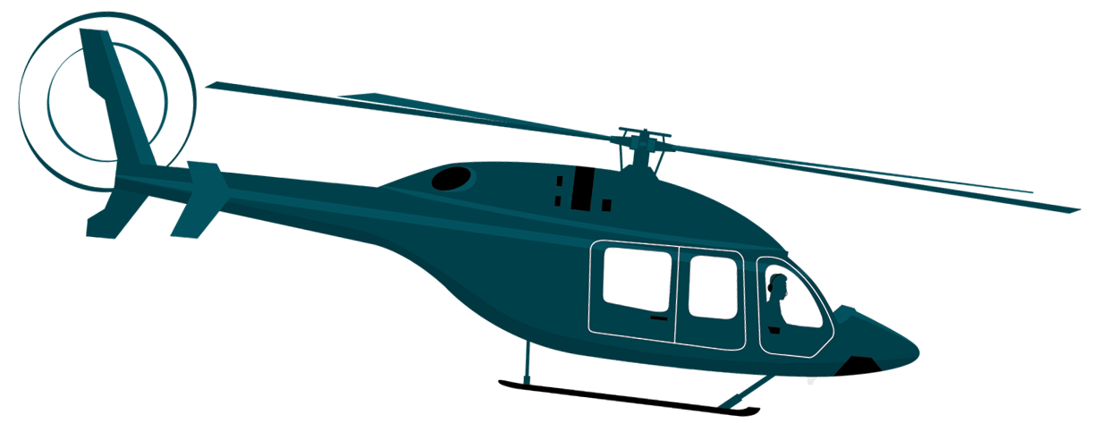
Steven loves to fly helicopters around the country and share his unique journeys with you. He recently completed a 3,000-mile flight around the USA.
Subscribe to Steven's email list to be notified when new content is released!
Have a suggestion for a location for us to review?
The Carlson Organization, Inc.
18 2nd Street
Luray, VA 22835
In this Discord server covers a wide range for all of Steven's YouTube channels.
Join in the discussion and share your insights with the community.
Join Now it's free
 view channel on YouTube